Busque en nuestro sitio
Quick search
Need some inspiration?
Resultado encontrado

Busque en nuestro sitio
Quick search
Need some inspiration?
Resultado encontrado
Need some inspiration?
Resultado encontrado
Need some inspiration?
Resultado encontrado
Para poder Ganar Puntos , En tu Perfil de cliente .
Usted deberá comprar cualquier producto de nuestra tienda, después de confirmar la compra automáticamente obtendrá un crédito en su monedero .
Normalmente suele tardar unos minutos después de la confirmación de la compra y pago, Si no fuera así deberá esperar 24 a 48 Horas después de su compra, pero no se preocupe lo obtendrá.
Este crédito podrá ser utilizado en cualquier producto en la próxima compra que realice en nuestra web.
Le recordamos y aconsejamos de suscribirse a nuestras redes sociales para obtener mas puntos, y cuando realice una compra añadir una reseña al producto en el botón RESEÑA en la parte inferior del producto.
No se pudo cargar la disponibilidad de recogida
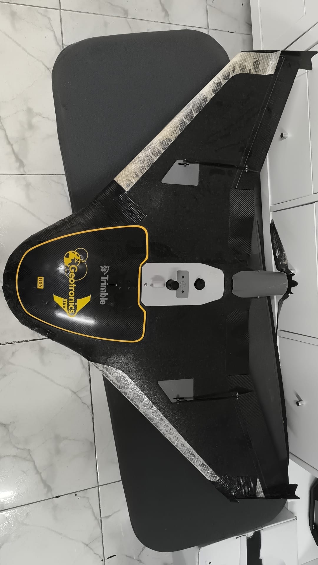
The Trimble UX5 multispectral would combine the power and reliability of the Trimble UX5 platform with the precision and reliability of the 5-band MicaSense RedEdge narrowband multispectral camera and (optional) the Light Pollution Sensor.
Controlled by Trimble Access Aerial Imaging field software, this complete system would provide an intuitive, integrated and robust workflow that would allow you to generate vegetation maps of the highest quality, for precision agriculture.
Crop properties could be consistently mapped in high resolution and with the radiometric reliability required for site-specific crop management.
The MicaSense RedEdge sensor (camera) separately collects five narrow bands (blue, green, red, red edge, and near-infrared) using global electronic shutters in uncompressed 12-bit TIFF files without distortion. This would achieve radiometric data quality equivalent to that of multispectral satellite systems.
Reflectance calibration would be achieved by acquiring pre- and post-flight images of a white calibration panel, for which Trimble Access Aerial Imaging would offer a simple and integrated procedure. In addition, the user has the option to connect the Light Pollution Sensor offered by MicaSense, for continuous ambient light corrections. The availability of five combined bands, with radiometric calibrations, would allow the user to calculate many vegetation indices adapted to customized applications.
The Trimble UX5 uses a narrowband multispectral camera, minimizing variations in orientation angles within flight lines. This would be important to minimize the angular viewing effects that can degrade narrowband multispectral image quality.
Similarly, it would offer a coverage area per flight, without compromising lateral overlap. This would avoid the degrading effects of angular viewing in the resulting orthomosaics. The ability to achieve this performance in strong wind conditions is a key feature of the Trimble UX5 multispectral.
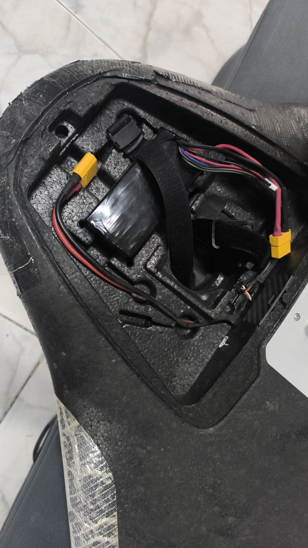
The UX5 multispectral comes with a kit to mount its MicaSense RedEdge kit parts into a single compact, efficient, and reliable unit, securely tethered in the cargo bay for protection. On the underside, the UX5 multispectral protects the MicaSense RedEdge lenses with a protective filter specifically chosen to maintain the quality of the spectral data.
The Trimble Access Aerial Imaging application operates the UX5 multispectral, serving as a single software tool for planning your aerial missions, performing pre-flight checks, and monitoring your flights. You can assign any field shape (surface), cover independent areas in a single flight, or automatically divide large areas of interest into contiguous flights, change landing sites during the flight, and perform flight simulations to validate flight plans.
Additionally, Trimble Access Aerial Imaging would ensure the correct operation of the MicaSense RedEdge and guide you through the efficient acquisition of pre- and post-flight reflectance calibration images. Before concluding flight operations at the aerial imagery acquisition site, it allows you to verify the consistency of the data captured with MicaSense RedEdge.
Afterward, you would only need to import the contents of the SD card into the MicaSense ATLAS cloud upload tool or any other Micasense-compatible image processing tool. Once completed, orthomosaics can be viewed and analyzed in Trimble ConnectedFarm, Trimble eCognition Essentials or other agricultural management and remote sensing analysis applications.
